Mapping and Analysis with Geographic Information Systems and Remote Sensing Techniques

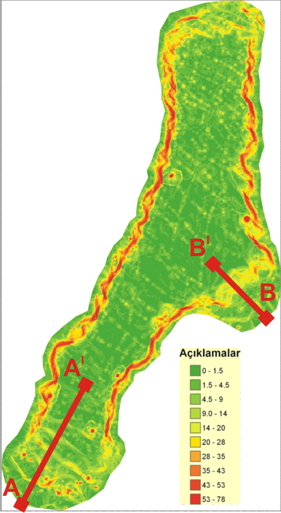
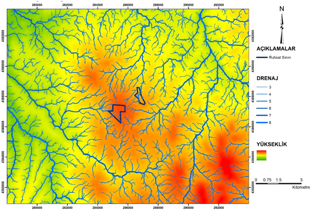
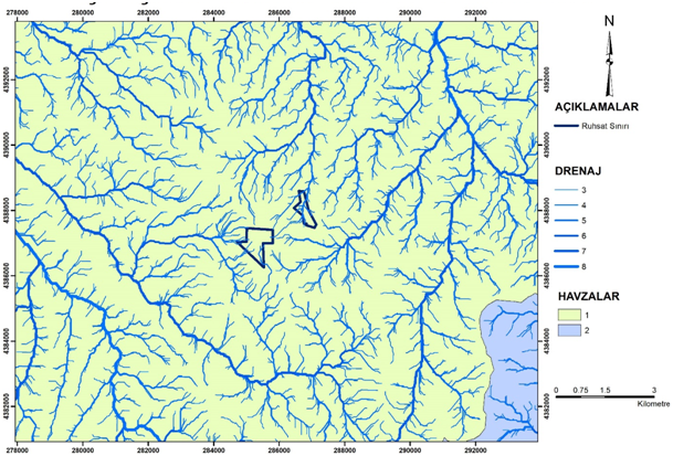
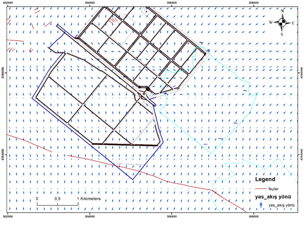
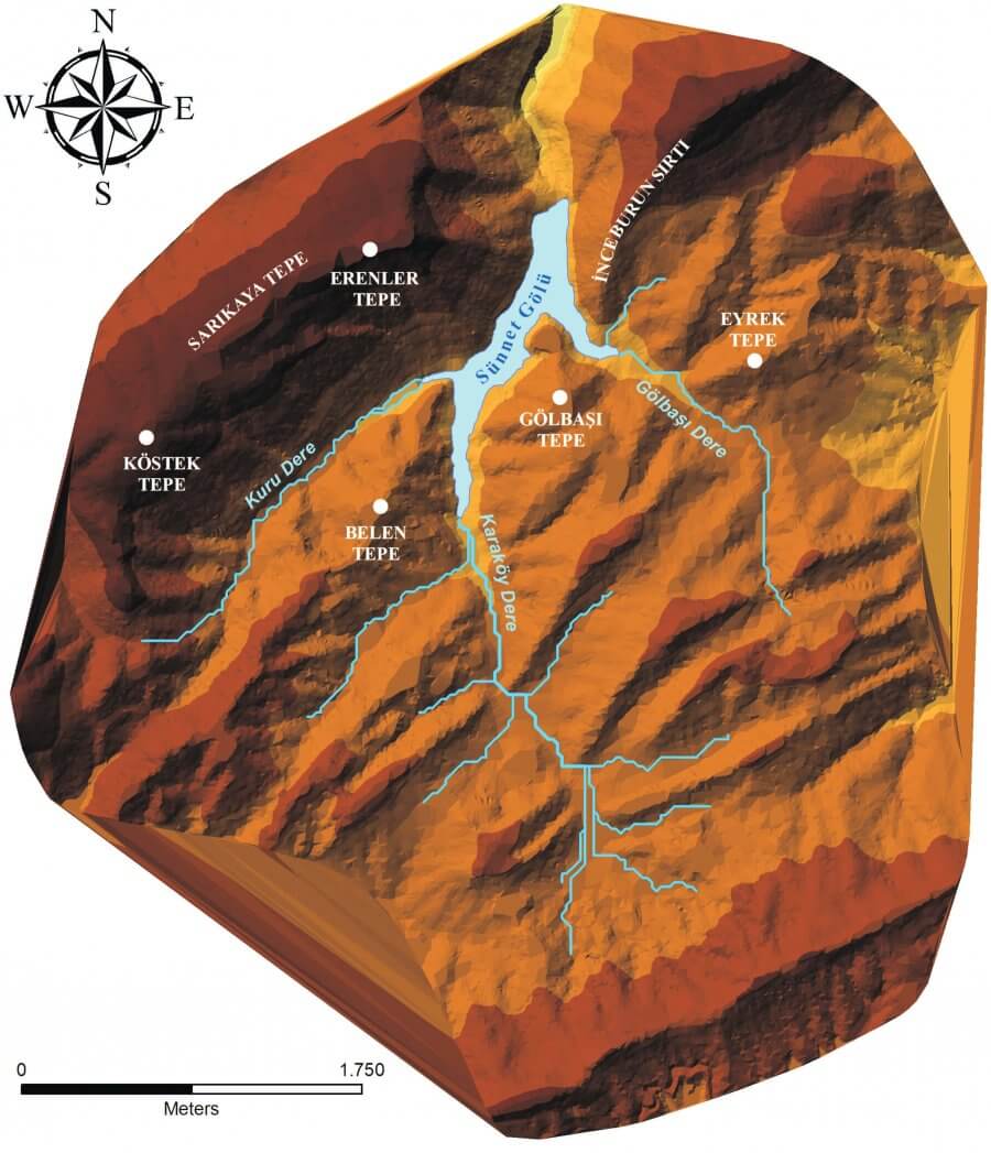
The content of Geographic Information Systems and Remote Sensing studies are created by using software (Net cad, ArcGIS, etc.) accepted by public and private organizations. Analysis of satellite images, aerial photographs and digital elevation models and maps that can be obtained through these software. Topographic data such as slope analysis, aspect, active tectonic markers, drainage network and basin analysis within the study area are presented and interpreted.

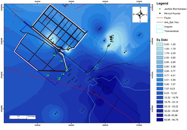
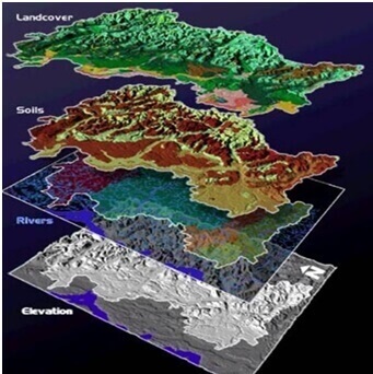
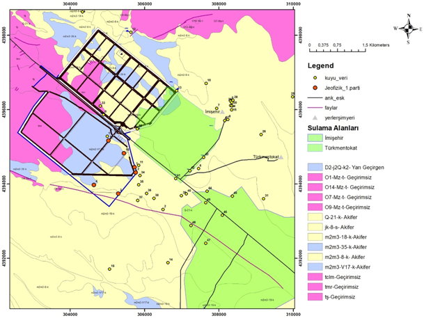
Studies in this field can be summarized as services for making and interpreting maps and analyzes. Some of those are; Creation of the geological model of an area for general and special purposes, preparation of geological cross-sections at different scales and production of Geologic, Hydrogeologic, Geomorphologic, Sedimentologic, disaster risk, land use suitability for adjustment maps and analysis.


Mapping and Analysis with Geographic Information Systems and Remote Sensing Techniques
WhatsApp Support Line