When evaluated in terms of time and cost savings, 3D modeling makes Laser scanners technology indispensable in many sectors.
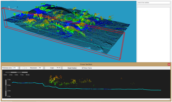
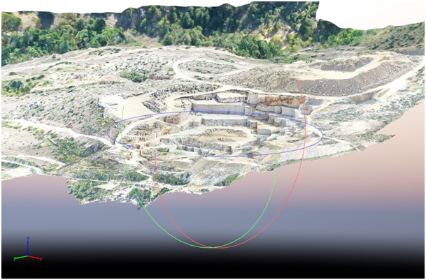
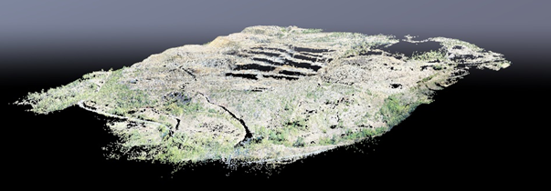
By using terrestrial laser scanners, 3D virtual reality coordinated models with mm precision are obtained. Scanned areas can be transferred to the digitally as they are. Obtained point cloud data is 4-dimensional (xyzi) and classifiable. For example, trees, power lines or unwanted parts in a scanned open area, can be extracted and removed in the point cloud data obtained by classification.
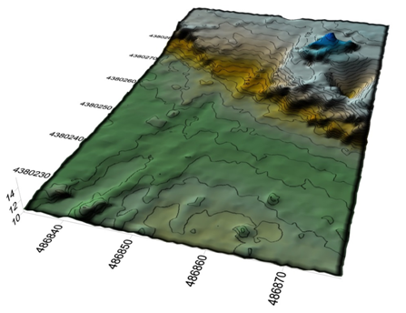
In the mining sector where pose a security threat such as; closed or open mine quarry and the landslide or avalanche areas, fractures, fissures, and displacements are determined by periodic measurements and area-volume calculations can be made. Map production with millimeter precision, Digital Elevation Model creation, Digital Terrain Model creation, Contour curves are produced in scanned areas.
There are so many different usage areas of Laser Scanner Technologies. In forestry sector calculations such as tree heights and timber amount calculations are made, In Criminal cases three-dimensional images of the crime scene are taken and archived for re-examination in accident area or crime scene.